Surf Forecasts: Catching the Best Swells
Live Surf Cams

Surfline Live is a 24/7 glimpse into the world’s surf.

This stream moves through Surfline’s global camera network, showing spots where it’s daylight and rated Fair or better.

What’s The Deal With…?

Surf News & Updates

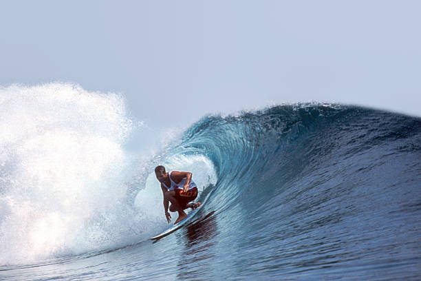
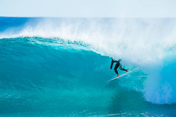
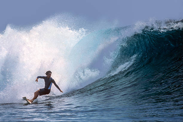
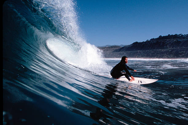
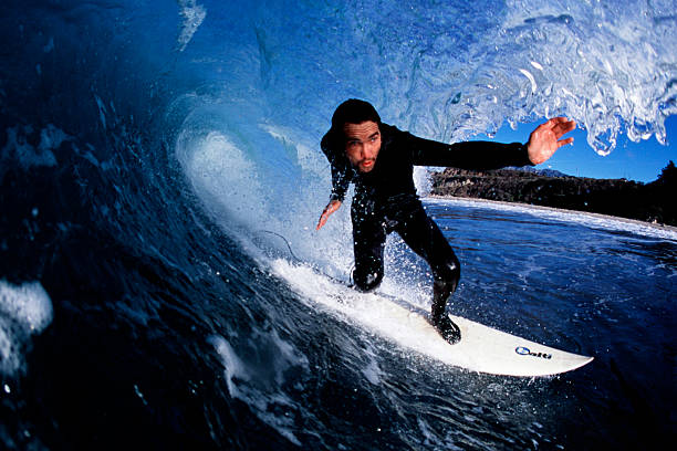
Offshore wind is pure magic. It blows from the land out to sea, holding up the face of the wave as it breaks. This smooths the surface, makes the wave stand up taller, and can hollow out a section for a sick barrel. It’s nature’s grooming tool, turning a good swell into a great session. The opposite, onshore wind, pushes the wave face down, making it crumbly and messy. Waking up to that crisp, offshore breeze is one of the best feelings in surfing.

It depends on your region, but many surfers swear by a combo. Surfline is the giant for cams and detailed reports. Magicseaweed (now owned by Surfline) has great global charts. Windy is phenomenal for visualizing wind and swell models. For hardcore data nerds, websites like SwellInfo or the NOAA buoys provide the raw info. Most of us check a few to get a consensus. The key is learning which forecast works best for your local breaks and trusting it.

Tides can make or break a session. Some reefs only start working when the tide drains out, exposing the rock and creating hollow, fast barrels. Other beach breaks might close out at low tide but become perfect, peeling waves at mid or high tide. Points and jetties also have their sweet spots. Knowing your local spot’s tide preference is essential. It’s all about water depth over the bottom contour. A wrong tide can mean flat, mushy waves or dangerous, pounding closeouts.

Surf News & Updates

You gotta be flexible and chase the charts. Don’t book a non-refundable trip to a single spot months in advance and hope for swell. Instead, identify a region with multiple options (like Costa Rica or Indonesia) and watch the long-range forecasts. When you see a solid swell pattern developing for one area, that’s when you book your flight or start the drive. Use tools that show swell trajectories. The goal is to put yourself in the path of the swell’s maximum energy. It’s the art of the chase!

Swell period is the heartbeat of the swell. Measured in seconds between waves, it tells you about the swell’s energy and quality. A short period (under 10 seconds) means weak, close-together waves from local wind. But a long period swell (14-20+ seconds) has traveled far, packing serious energy. It’ll wrap into bays, jack up on reefs, and groom itself into clean, powerful lines. High period = high potential for epic, hollow surf. It’s the number that gets every surfer stoked when they see it on the forecast.

This is totally hemisphere and location specific. In general, winter brings the biggest, coldest swells from powerful mid-latitude storms. Think North Pacific firing for Hawaii and California, or the North Atlantic for Europe. Summer often brings smaller, more consistent swells from tropical systems (hurricanes, cyclones) and longer periods of good weather. The secret? Follow the storm tracks. And remember, the “best” swell isn’t always the biggest—it’s the one that lines up perfectly with your favorite break and an offshore breeze.