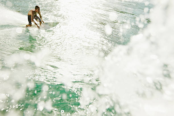
Forget the old days of squinting at the horizon from the cliff or relying on the local shop guy’s hunch. In the modern surfer’s quest for the endless summer, the digital surf forecast is the single most important tool in the quiver. It’s the crystal ball, the roadmap, the secret decoder ring that separates a flat, frustrating paddle-out from a session where you’re hooting your mates into set waves. Reading it right isn’t just tech-savvy; it’s a fundamental part of the craft.
At its core, a good forecast breaks down the ocean’s mood into a few key ingredients. Swell is the engine. You’re looking at swell height, period, and direction. Height is obvious, but period is the real magic number. A two-foot wave with a 20-second period will be a powerful, lined-up gem, while a two-footer with a 6-second period is just weak chop. Direction is everything—that perfect southwest swell might light up your local point but leave the beach break down the road completely flat. Then you’ve got the wind. Onshore wind chops it up, turns it mushy. A clean offshore breeze grooms the face, holds it open, gives you that dreamy, spray-back silhouette. Tide is the final puzzle piece. Some reefs only work on a low drainer, some beachies need a high tide push to soften up. Knowing the combo is key.
But here’s the no-nonsense truth: data is just numbers until you apply local knowledge. That’s the art. The forecast might say “4-5ft SW swell,” but you need to know if your spot is a south-facing cove that gulps that energy or a west-facing slab that needs more west in the angle. This is where the stoke of community comes in. The comments on a forecast page, a text from a dawn patrol buddy, the live cam showing the actual conditions—these are the human elements that translate the prediction into reality. You learn your spot’s personality: how it breathes with different tides, how it gets moody with wind shifts.
Chasing the sun in the spirit of The Endless Summer is now a digital-first mission. Planning a surf trip starts months out, not with booking flights, but with studying seasonal swell charts. You’re looking for that sweet spot where the trade winds settle, the South Pacific or North Atlantic storm belts fire up, and the crowds are thin. The forecast dictates the itinerary. A last-minute change because a new swell pulse is filling in? That’s the whole point. It’s about being fluid, going where the energy is.
So, how do you use this power? Don’t just glance at the star rating. Dive in. Check the multiple swell models, watch the wind graphs, cross-reference the buoy data. See how the swell builds, peaks, and fades over days. It teaches you patience—to sit out the windy afternoon junk for the glassy morning perfection. It saves you gas, time, and frustration. More importantly, it gets you in the water when it’s pumping, not when it’s mediocre.
In the end, a surf forecast isn’t about taking the adventure out of surfing. It’s about putting you in the right place, at the right time, with the right board. It’s about maximizing your water time and scoring those unforgettable sessions where everything aligns: the swell, the wind, the tide, and your own stoke. Because you’re not just checking a website; you’re reading the ocean. And when you learn its language, you get a lot more invites to the party inside the green room.